
Houston Southside Suburb
About Pearland, TX
Welcome to Pearland, the Brazoria County city south of Houston, known for its pear-tree heritage, master-planned communities, and quick access to the Texas Medical Center.
Pearland is a city in Brazoria County, Texas, with portions extending into Harris and Fort Bend counties, located about 15 miles south of downtown Houston. Home to roughly 126,000 residents, it is a principal city in the Houston–The Woodlands–Sugar Land metropolitan area and one of the largest suburban communities on Houston's south side. The city's origins are agricultural. Pearland began in the 1880s near a siding on the Gulf, Colorado and Santa Fe Railway, and when a post office opened in 1893 the settlement was briefly called Mark Belt. Later that year the name was changed to Pearland, a reference to the pear trees that grew throughout the area. The town was promoted as an "Agricultural Eden," and while early setbacks including the 1900 hurricane slowed its growth, the community eventually re-established itself and began expanding toward Houston as the region grew. Today Pearland functions primarily as a residential city tied to Houston's employment core. State Highway 288 runs along the city's eastern side as the primary commuter route to the Texas Medical Center and downtown Houston, with Beltway 8 providing east-west access. The Texas Medical Center—the world's largest medical complex—is a major employment draw for Pearland residents, and William P. Hobby Airport lies just to the north. Public schools are served mainly by the Pearland Independent School District, which operates about 24 schools, with portions of the city falling under Alvin ISD and Fort Bend ISD. The housing stock is anchored by large master-planned communities, most notably the 3,500-acre Shadow Creek Ranch, alongside established and newer subdivisions. Recreation centers on parks such as the 43-acre Independence Park with its amphitheater and trails, plus neighborhood amenities. The combination of a diverse, family-oriented community, strong school options, and direct access to Houston defines Pearland's role in the metro.
Frequently Asked Questions
What county is Pearland in?
Pearland is located primarily in Brazoria County, Texas, with portions of the city extending into Harris County and Fort Bend County. It sits about 15 miles south of downtown Houston and is a principal city in the Houston–The Woodlands–Sugar Land metropolitan area.
What is Pearland known for?
Pearland is known for its rapid residential growth and its location along State Highway 288, which provides a direct route to the Texas Medical Center and downtown Houston. The city is also known for the 3,500-acre master-planned community of Shadow Creek Ranch and for its name, which reflects the pear trees that once grew throughout the area.
What school district serves Pearland?
Most of Pearland is served by Pearland Independent School District, which operates about 24 schools and enrolls roughly 21,000 students. Portions of the city fall within Alvin ISD and Fort Bend ISD, so families should verify which district covers a given address.
How far is Pearland from Houston?
Pearland is about 15 miles south of downtown Houston. State Highway 288 is the main commuter route to the Texas Medical Center and downtown, with typical peak-time commutes of roughly 30 to 45 minutes, and Beltway 8 provides east-west access around the metro.
What are the main neighborhoods in Pearland?
Pearland's residential landscape includes the large master-planned community of Shadow Creek Ranch, located west of State Highway 288 and south of Beltway 8, along with established subdivisions and newer single-family developments across the city. The area offers a wide range of family-oriented neighborhoods.
City Guide
About Pearland
Real Estate & Housing
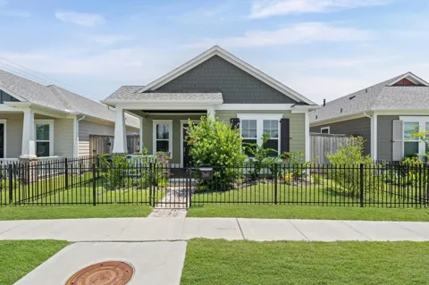
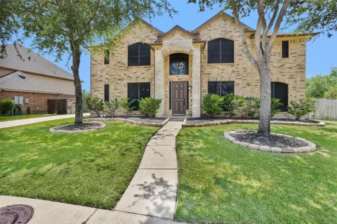
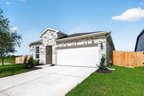
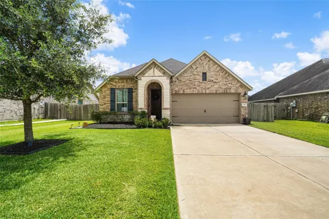
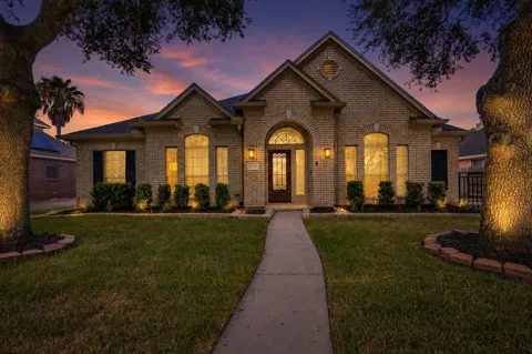
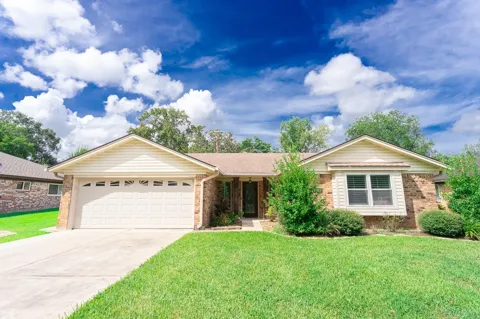
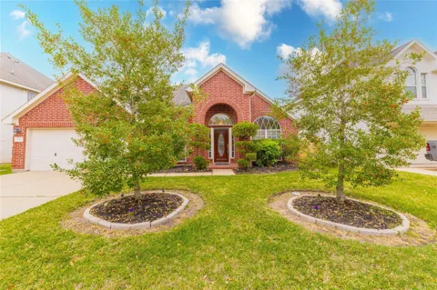
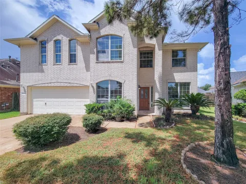
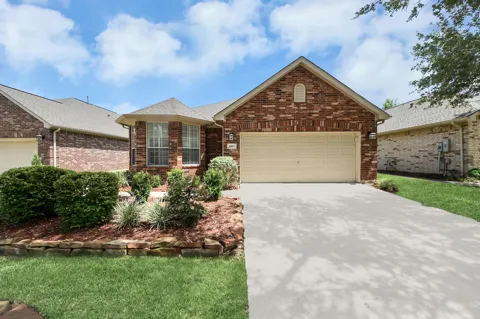
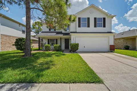
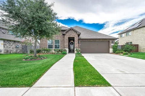
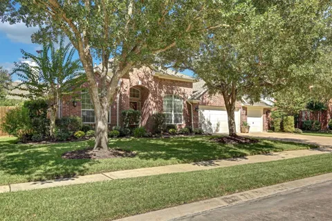
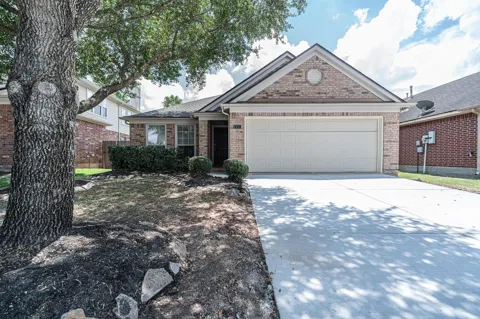
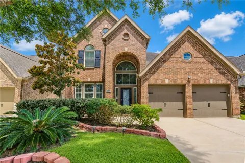
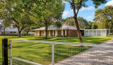
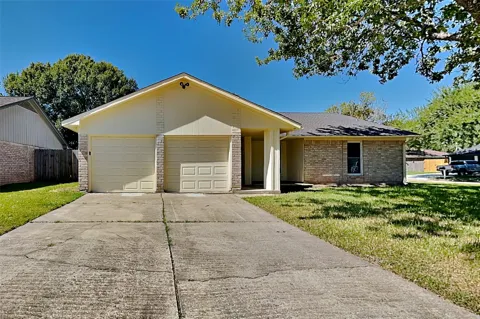
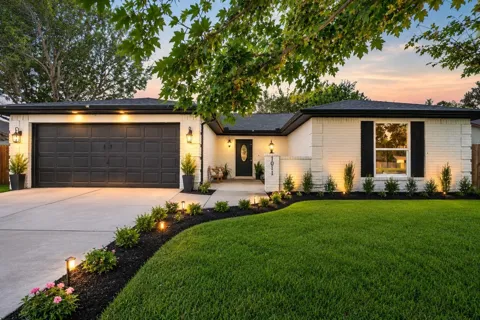
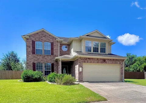
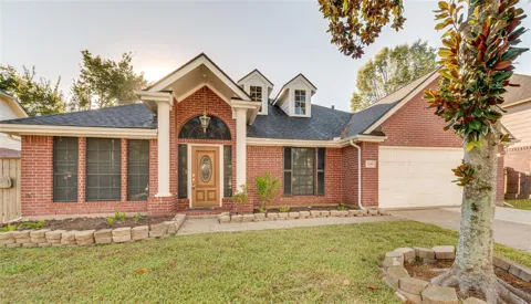
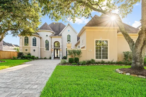
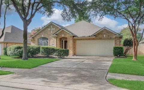
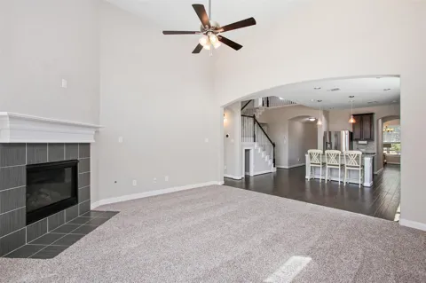
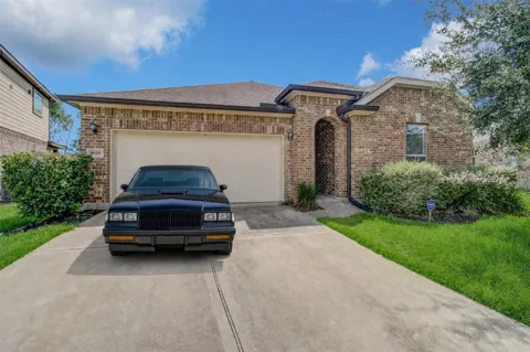
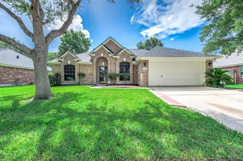
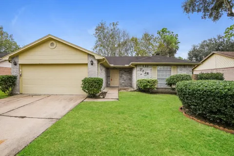
Pearland's housing market is anchored by large master-planned communities and a substantial supply of established and newer single-family homes. Shadow Creek Ranch, a 3,500-acre community west of State Highway 288, is among the region's best-known developments, with lakes, trails, and resort-style amenities. Beyond it, the city contains a wide range of subdivisions built over several decades, from established brick homes to new construction, much of it oriented toward families. The market's scale and variety reflect Pearland's growth from a small agricultural town into one of the Houston area's larger suburban cities, with homes spanning a broad range of sizes and settings.
Neighborhoods
Pearland's neighborhoods center on master-planned and established subdivisions spread across the city's three-county footprint. Shadow Creek Ranch is the signature development, a 3,500-acre community west of State Highway 288 and south of Beltway 8 with lakes, trails, and extensive amenities. Around it, the city contains numerous established single-family neighborhoods built during successive growth periods, plus newer subdivisions along the SH 288 and FM 518 corridors. This structure gives residents options ranging from amenity-rich planned communities to mature neighborhoods with larger lots and older homes, all within reach of Houston's south side.
Lifestyle in Pearland
Pearland's lifestyle is shaped by its role as a family-oriented Houston suburb with strong ties to the city's employment centers. Residents enjoy a broad mix of shopping, dining, and services along the FM 518 corridor and in newer retail centers, while the Texas Medical Center, downtown Houston, and the city's museums and sports venues sit within a manageable commute. The community is notably diverse, and its neighborhoods are built around schools, parks, and community amenities. Independence Park hosts festivals, concerts, and markets, and master-planned communities such as Shadow Creek Ranch add pools, trails, and lakes, giving daily life an amenity-rich, suburban rhythm.
Schools & Education
Public education in Pearland is led by the Pearland Independent School District, established in 1937, which operates about 24 schools and enrolls roughly 21,000 students. The district includes Pearland High School, Dawson High School, and a network of middle and elementary campuses. Because Pearland spans three counties, portions of the city are also served by Alvin ISD and Fort Bend ISD, so school assignment depends on a home's specific location. The area's schools are a central factor in its appeal to relocating families, and the district's size supports a wide range of academic, athletic, and extracurricular programs.
Getting Around
Pearland's transportation network is built around State Highway 288, the primary route connecting the city to downtown Houston and the Texas Medical Center, about 15 miles to the north. Beltway 8, Houston's outer loop, provides east-west access across the metro, while FM 518 (Broadway) serves as the city's main local corridor. Typical peak commutes to the Medical Center and downtown run about 30 to 45 minutes. William P. Hobby Airport is located nearby in southern Houston, and Pearland Regional Airport serves general aviation to the southeast. This highway network makes Pearland a practical base for commuters across Houston's south side.
Parks & Recreation
Recreation in Pearland is anchored by a strong municipal parks system. Independence Park spans about 43 acres with trails, sports facilities, an amphitheater, and playgrounds, and hosts concerts, festivals, and community markets. The city's recreation centers and neighborhood parks provide pools, athletic fields, and programs for residents, while master-planned communities such as Shadow Creek Ranch add their own lakes, trails, and amenity centers. Beyond the city, Houston's museums, sports venues, and the nearby Gulf Coast are within easy reach, giving Pearland residents a broad range of recreation options close to home and across the metro.
MARKET SNAPSHOT
The Market at a Glance
How homes have been selling here over the last 90 days.
Price & Sales History
Market data reflects closed sales over the last 90 days and is provided for informational purposes.
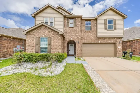
For sale
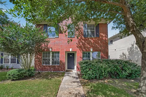
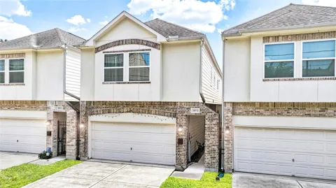
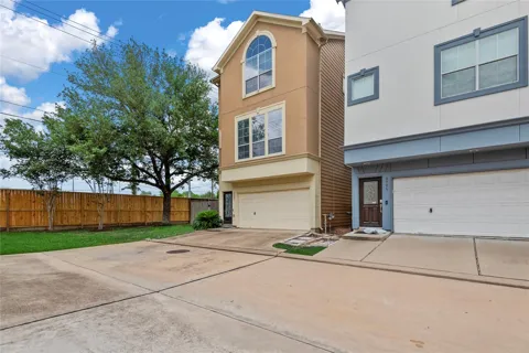
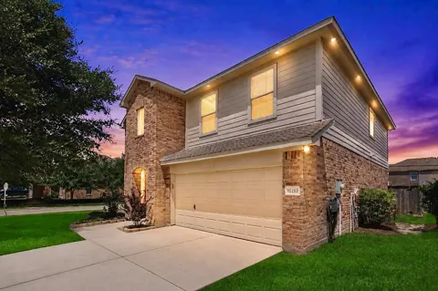
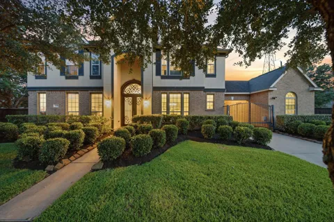
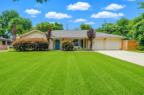
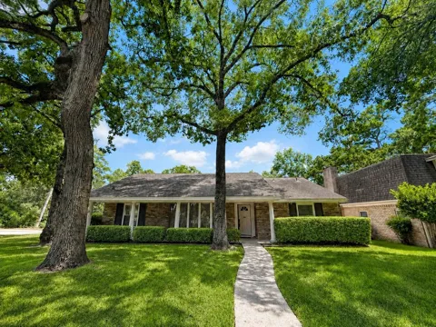
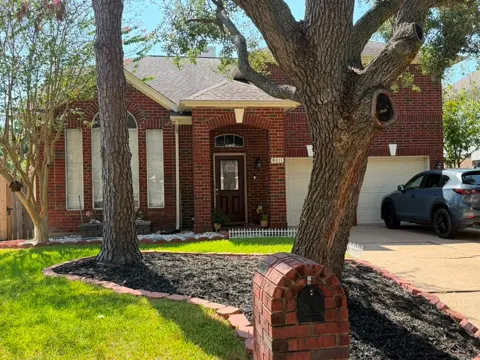
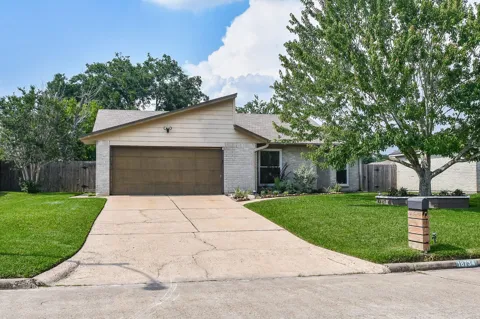
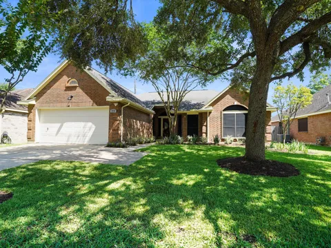
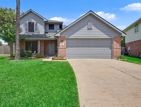
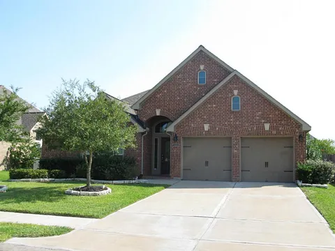
Houses in Pearland, TX
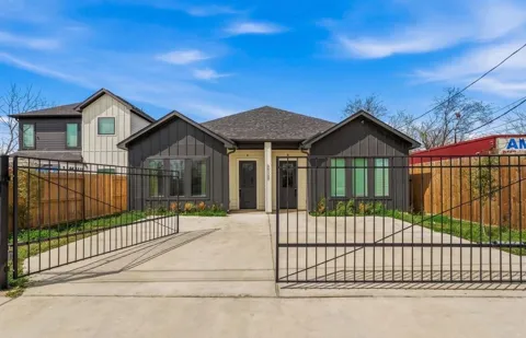
Handpicked properties hitting the scene in your area.
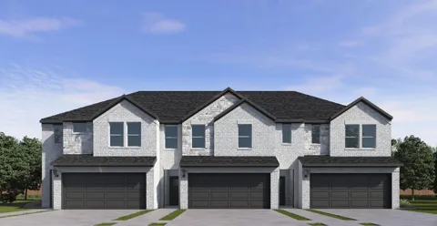
For sale
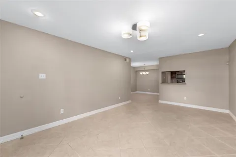
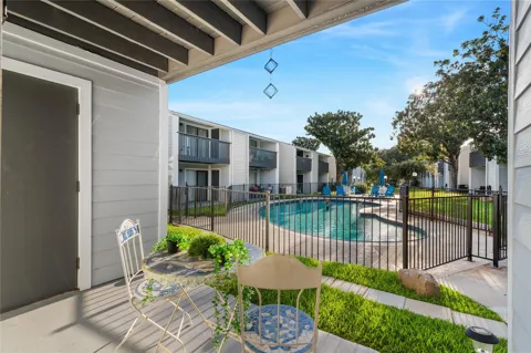
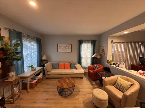
Townhomes in Pearland, TX
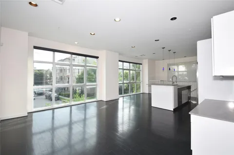
Handpicked properties hitting the scene in your area.
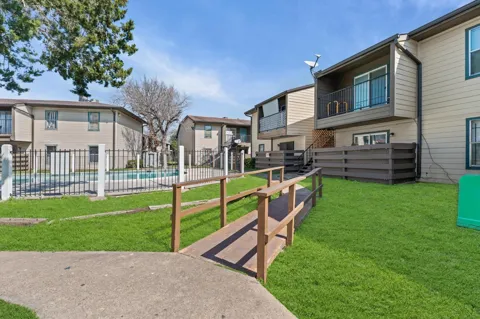
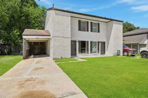
For sale
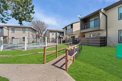
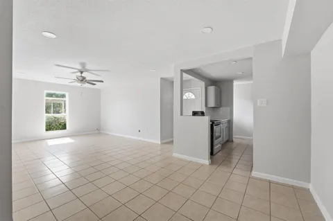
Condos in Pearland, TX
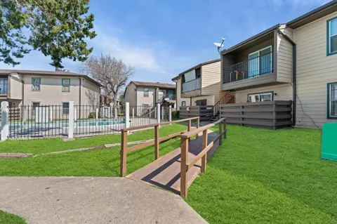
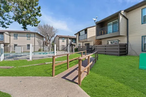
Handpicked properties hitting the scene in your area.
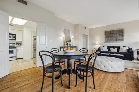
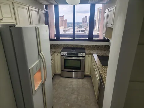 For Sale
- 2 bd
- 2 ba
- 1370 sqft
- Built 1981
- 29636553
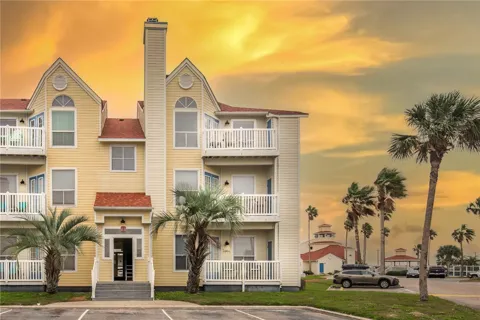
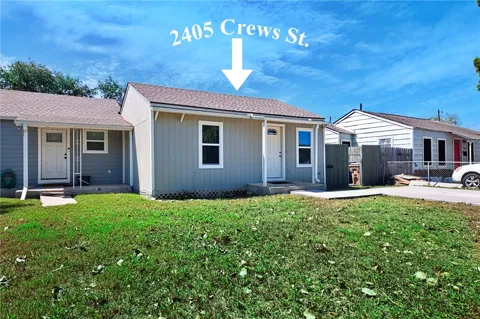
 For Sale
- 3 bd
- 4 ba
- 3560 sqft
- Built 1983
- 481212
EXPLORE COMMUNITIES
Subdivisions
Browse the neighborhoods and subdivisions in this area.
Zip Codes
BROWSE BY ZIP
Browse listings by postal code in this area.
- Grid
- Map
- List
3833 Matteson St Corpus Christi, TX 78418